
चित्र:Bay Islands detail.PNG
यापेक्षा मोठे चित्र उपलब्ध नाही.
Bay_Islands_detail.PNG (५६६ × ४८३ पिक्सेल, संचिकेचा आकार: ३९ कि.बा., MIME प्रकार: image/png)
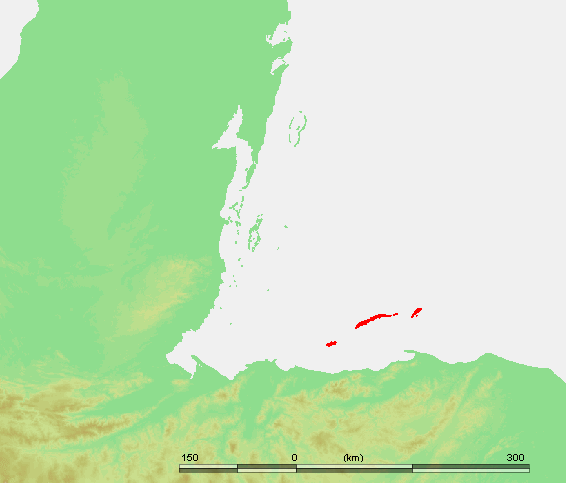
| वर्णन | bay islands, Honduras | ||||
| स्रोत | own work based on PD map | ||||
| लेखक | edited by M.Minderhoud | ||||
| परवानगी (या संचिकेचा पुनर्वापर करीत आहे) |
|
संचिकेचा इतिहास
संचिकेची त्यावेळची आवृत्ती बघण्यासाठी त्या दिनांक/वेळेवर टिचकी द्या.
| दिनांक/वेळ | छोटे चित्र | आकार | सदस्य | प्रतिक्रीया | |
|---|---|---|---|---|---|
| सद्य | २१:१०, ६ ऑगस्ट २००६ | | ५६६ × ४८३ (३९ कि.बा.) | Michiel1972 | {{Information |Description=bay islands, Honduras |Source= own work based on PD map |Date= |Author= edited by M.Minderhoud |Permission= {{PD-Demis}} |other_versions= }} category:Locator maps of islands |
दुवे
खालील पाने या संचिकेला जोडली आहेत:
जागतिक संचिका उपयोग
संचिकाचे इतर विकिपीडियावरील वापरः
- cs.wikipedia.org वरील उपयोग
- de.wikipedia.org वरील उपयोग
- eo.wikipedia.org वरील उपयोग
- es.wikipedia.org वरील उपयोग
- eu.wikipedia.org वरील उपयोग
- fa.wikipedia.org वरील उपयोग
- ka.wikipedia.org वरील उपयोग
- ru.wikipedia.org वरील उपयोग
- sh.wikipedia.org वरील उपयोग
- sk.wikipedia.org वरील उपयोग
- uk.wikipedia.org वरील उपयोग
- ur.wikipedia.org वरील उपयोग
- vi.wikipedia.org वरील उपयोग