
चित्र:Singapore location map (main island).svg

Size of this PNG preview of this SVG file: ८०० × ५०८ पिक्सेल. इतर resolutions: ३२० × २०३ पिक्सेल | ६४० × ४०६ पिक्सेल | १,०२४ × ६५० पिक्सेल | १,२८० × ८१२ पिक्सेल | २,५६० × १,६२५ पिक्सेल | ३,२४७ × २,०६१ पिक्सेल.
मूळ संचिका (SVG संचिका, साधारणपणे ३,२४७ × २,०६१ pixels, संचिकेचा आकार: ३०९ कि.बा.)
.svg)
सारांश
| वर्णन |
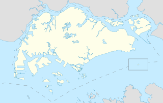
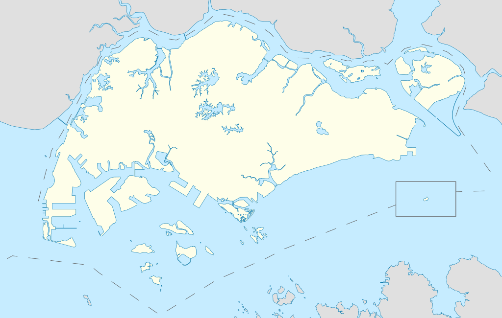
English: Locator Map for Singapore's main island, with Pedra Branca as an insert |
| दिनांक | |
| स्रोत | स्वतःचे काम |
| लेखक | Seloloving |
परवाना:
I, the copyright holder of this work, hereby publish it under the following license:
This file is licensed under the Creative Commons Attribution-Share Alike 4.0 International license.
- तुम्ही मुक्त आहात.
- सामायिक करा – नक्कल, वितरण आणि पारेषित करण्यास
- पुर्नमिश्रीत करण्यास – काम गरजेनुसार अनुकुलीत करण्यास
- खालील अटींच्या अधिन राहून:
- रोपण – आपण योग्य क्रेडिट देणे आवश्यक आहे, परवान्यास दुवा प्रदान करणे आवश्यक आहे, आणि बदल केले गेले आहेत हे दर्शविणे आवश्यक आहे. आपण हे कोणत्याही वाजवी मार्गाने करू शकता, परंतु परवानाधारक आपल्यास किंवा आपल्या वापरास मान्यता देतो अशा कोणत्याही मार्गाने नाही.
- जसेहोते-वाटातसेच (शेअर अलाईक) – जर तुम्ही या कामात काही बदल केलात, काटछाट केलीत, किंवा भर घातली, तर असे करून बनलेले नवीन काम तुम्ही केवळ या किंवा यासारख्याच परवान्याअंतर्गत प्रसारित करू शकतात.
संचिकेचा इतिहास
संचिकेची त्यावेळची आवृत्ती बघण्यासाठी त्या दिनांक/वेळेवर टिचकी द्या.
| दिनांक/वेळ | छोटे चित्र | आकार | सदस्य | प्रतिक्रीया | |
|---|---|---|---|---|---|
| सद्य | १६:४६, १४ जून २०२० | | ३,२४७ × २,०६१ (३०९ कि.बा.) | Seloloving | added maritime borders |
| १५:०६, १३ जून २०२० |  | ३,२४७ × २,०६१ (३१० कि.बा.) | Seloloving | full extent of singapore and claimed waters | |
| ००:०६, ११ जून २०२० |  | २,९५९ × १,९४९ (२२४ कि.बा.) | Seloloving | Uploaded own work with UploadWizard |
दुवे
या चित्राशी जोडलेली पृष्ठे नाहीत.
जागतिक संचिका उपयोग
संचिकाचे इतर विकिपीडियावरील वापरः
- bcl.wikipedia.org वरील उपयोग
- en.wikipedia.org वरील उपयोग
- Jurong
- Jurong Island
- Pulau Tekong
- Changi
- Changi Naval Base
- Ang Mo Kio
- Changi Prison
- Sembawang
- Pulau Ubin
- Paya Lebar Air Base
- Geylang
- Sakya Muni Buddha Gaya Temple
- Punggol
- Woodlands, Singapore
- Marine Parade
- Clementi, Singapore
- Pasir Ris
- Orchard Road
- Kallang
- Choa Chu Kang
- Paya Lebar
- Republic of Singapore Navy
- Singapore Army
- Tampines
- Bukit Timah
- Yishun
- Marsiling
- Serangoon
- Bishan, Singapore
- Lim Chu Kang
- Bukit Batok
- Bukit Panjang
- Hougang
- Queenstown, Singapore
- Toa Payoh
- Tuas
- Former National Stadium, Singapore
- 1984 AFC Asian Cup
- Bedok
- Kong Meng San Phor Kark See Monastery
- Seletar
- Pulau Brani
- Kusu Island
- Sisters' Islands
- Pulau Hantu
या संचिकेचे अधिक वैश्विक उपयोग पहा
.svg)
.svg)