
चित्र:MaharashtraSangli.png
या झलकेचा आकार: ७७८ × ६०० पिक्सेल पिक्सेल. इतर resolutions: ३१२ × २४० पिक्सेल | ६२३ × ४८० पिक्सेल | ९९७ × ७६८ पिक्सेल | १,२८० × ९८७ पिक्सेल | २,१६८ × १,६७१ पिक्सेल.
मूळ संचिका (२,१६८ × १,६७१ पिक्सेल, संचिकेचा आकार: ४२६ कि.बा., MIME प्रकार: image/png)
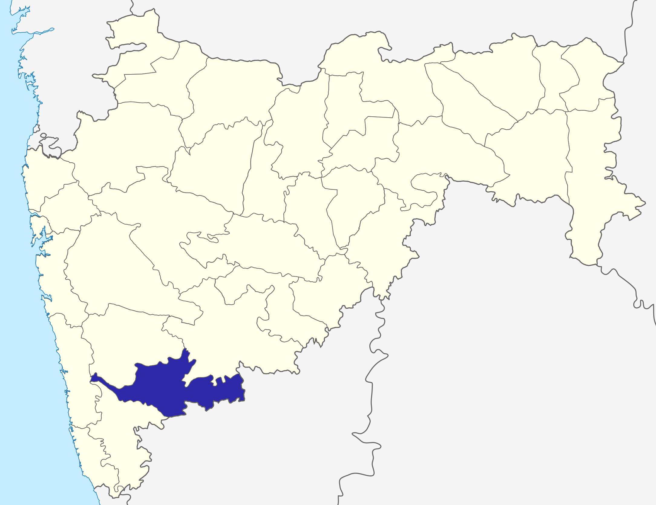
Sangli dist
Source: Drawn by me
| I, the copyright holder of this work, release this work into the public domain. This applies worldwide. असे करणे काही देशांमधे कायद्यानुसार शक्य नसू शकते. असे असल्यास : मी कोणालाही कोणत्याही कारणासाठी हे काम वापरण्याचे अधिकार कोणत्याही बंधनाशिवाय जर अशी बंधने कायद्याने बंधनकारक नसतीलतर देत आहोत. |
\
संचिकेचा इतिहास
संचिकेची त्यावेळची आवृत्ती बघण्यासाठी त्या दिनांक/वेळेवर टिचकी द्या.
| दिनांक/वेळ | छोटे चित्र | आकार | सदस्य | प्रतिक्रीया | |
|---|---|---|---|---|---|
| सद्य | १२:०१, ६ ऑक्टोबर २०१५ | | २,१६८ × १,६७१ (४२६ कि.बा.) | Abhijitsathe | State map updated to reflect new Palghar district |
| ०५:३९, २२ सप्टेंबर २००९ |  | २,७८९ × २,२३२ (९५४ कि.बा.) | Abhijitsathe | India map inset | |
| २१:११, १० एप्रिल २००९ |  | २,७८९ × २,२३२ (७९५ कि.बा.) | Abhijitsathe | {{Information |Description=Sangli district in Maharashtra |Source=*File:Maharashtra_locator_map.svg |Date=2009-04-10 16:38 (UTC) |Author=*File:Maharashtra_locator_map.svg: '''PlaneMad''' *derivative work: ~~~ |Permission=see below |other_versi | |
| २२:५९, ६ ऑगस्ट २००५ |  | २०० × १६१ (४ कि.बा.) | Nichalp | Sangli dist Source: Drawn by me {{PD-self}} Category:Maharashtra district maps\ |
दुवे
या चित्राशी जोडलेली पृष्ठे नाहीत.