
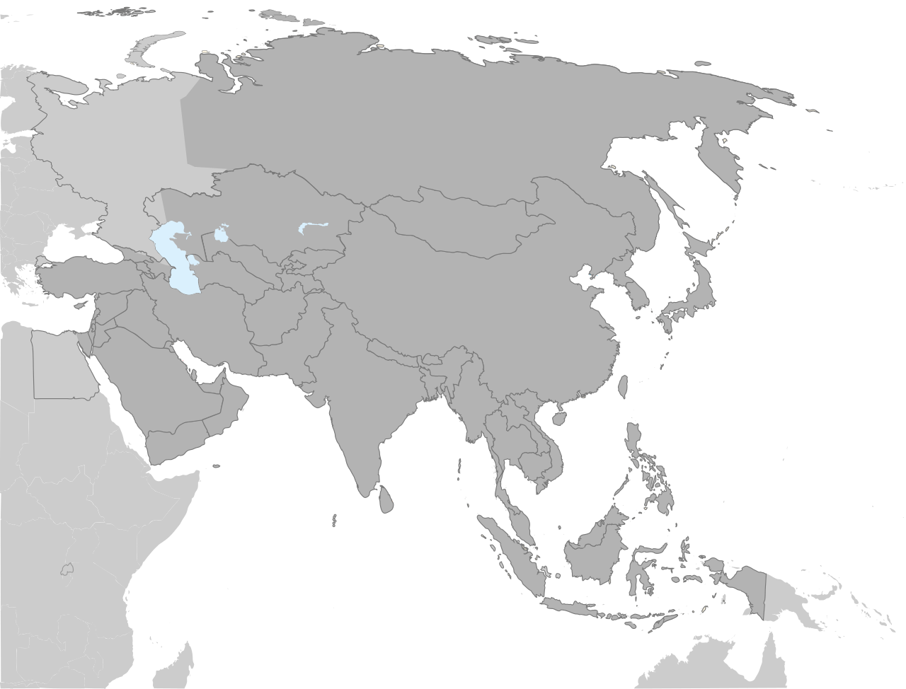
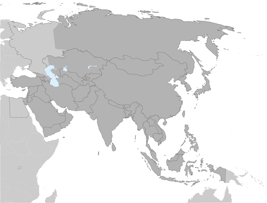
चित्र:Location Map Asia.svg

Size of this PNG preview of this SVG file: ७८८ × ६०० पिक्सेल. इतर resolutions: ३१६ × २४० पिक्सेल | ६३१ × ४८० पिक्सेल | १,००९ × ७६८ पिक्सेल | १,२८० × ९७४ पिक्सेल | २,५६० × १,९४८ पिक्सेल | १,१०० × ८३७ पिक्सेल.
मूळ संचिका (SVG संचिका, साधारणपणे १,१०० × ८३७ pixels, संचिकेचा आकार: ८९९ कि.बा.)
सारांश
| वर्णन |
English: A locator SVG map of Asia with national borders, based off of file:Asie.svg. |
| दिनांक | |
| स्रोत | स्वतःचे काम |
| लेखक | Haha169 |
| इतर आवृत्तींस |
Derivative works of this file: |
परवाना:
| I, the copyright holder of this work, release this work into the public domain. This applies worldwide. असे करणे काही देशांमधे कायद्यानुसार शक्य नसू शकते. असे असल्यास : मी कोणालाही कोणत्याही कारणासाठी हे काम वापरण्याचे अधिकार कोणत्याही बंधनाशिवाय जर अशी बंधने कायद्याने बंधनकारक नसतीलतर देत आहोत. |
संचिकेचा इतिहास
संचिकेची त्यावेळची आवृत्ती बघण्यासाठी त्या दिनांक/वेळेवर टिचकी द्या.
| दिनांक/वेळ | छोटे चित्र | आकार | सदस्य | प्रतिक्रीया | |
|---|---|---|---|---|---|
| सद्य | २३:४८, ४ सप्टेंबर २०२२ | | १,१०० × ८३७ (८९९ कि.बा.) | Рагин1987 | Correction |
| ०१:४२, ३१ ऑगस्ट २०२२ |  | २,५६० × १,९४८ (८२८ कि.बा.) | Рагин1987 | More correct visualization of the dividing line on the territory of the Caucasus Range | |
| ००:२३, ३ ऑक्टोबर २०२१ |  | १,१०० × ८३७ (८८३ कि.बा.) | Hogweard | South Sudan border | |
| ०७:५९, ५ मे २००९ |  | १,१०० × ८३७ (८८१ कि.बा.) | Haha169 | {{Information |Description={{en|1=A locator SVG map of Asia, based off of file:Asie.svg.}} |Source=Own work by uploader |Author=Haha169 |Date=2009-05-04 |Permission= |other_versions= }} <!--{{ImageUpload|full}}--> |
दुवे
या चित्राशी जोडलेली पृष्ठे नाहीत.
जागतिक संचिका उपयोग
संचिकाचे इतर विकिपीडियावरील वापरः
- en.wikipedia.org वरील उपयोग
- ko.wikipedia.org वरील उपयोग