
चित्र:Kansas official transportation map legend.png

या झलकेचा आकार: २६५ × ५९९ पिक्सेल पिक्सेल. इतर resolutions: १०६ × २४० पिक्सेल | ३९७ × ८९७ पिक्सेल.
मूळ संचिका (३९७ × ८९७ पिक्सेल, संचिकेचा आकार: २१८ कि.बा., MIME प्रकार: image/png)
सारांश
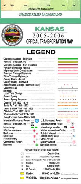
| वर्णन | This legend is copied at a resolution of 100 pixels/inch from the original PDF file. |
| दिनांक | |
| स्रोत | Kansas 2005–2006 Official Transportation Map (link) |
| लेखक | Designed and published by the Kansas Department of Transportation. |
| परवानगी (या संचिकेचा पुनर्वापर करीत आहे) |
परवाना:
| This work has been released into the public domain by its author, Kansas Department of Transportation. This applies worldwide. असे करणे काही देशांमधे कायद्यानुसार शक्य नसू शकते. असे असल्यास : Kansas Department of Transportation grants anyone the right to use this work for any purpose, without any conditions, unless such conditions are required by law.
|
This map is published by the Kansas Department of Transportation and is distributed to the public free of charge. KDOT makes no warranties, guarantees, or representations for accuracy of this information and assumes no liability for errors or omissions. Maps produced using tax payer dollars are free for public use.
संचिकेचा इतिहास
संचिकेची त्यावेळची आवृत्ती बघण्यासाठी त्या दिनांक/वेळेवर टिचकी द्या.
| दिनांक/वेळ | छोटे चित्र | आकार | सदस्य | प्रतिक्रीया | |
|---|---|---|---|---|---|
| सद्य | १०:०४, २० फेब्रुवारी २००६ | | ३९७ × ८९७ (२१८ कि.बा.) | Moverton | Source: Kansas 2005-2006 Official Transportation Map {{PD-US}} |
दुवे
या चित्राशी जोडलेली पृष्ठे नाहीत.