
चित्र:France base map 18 regions.png

या झलकेचा आकार: ६४८ × ५९९ पिक्सेल पिक्सेल. इतर resolutions: २६० × २४० पिक्सेल | ५१९ × ४८० पिक्सेल | ८३१ × ७६८ पिक्सेल | १,१०८ × १,०२४ पिक्सेल | २,२१५ × २,०४८ पिक्सेल.
मूळ संचिका (२,२१५ × २,०४८ पिक्सेल, संचिकेचा आकार: ४८२ कि.बा., MIME प्रकार: image/png)
सारांश
| वर्णन |
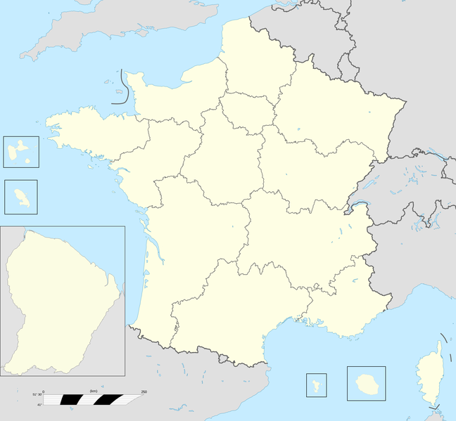
English: Base map of France with 18 regions. |
||
| दिनांक | |||
| स्रोत |
स्वतःचे काम; This file was derived from: France fond de carte 27 régions.png |
||
| लेखक | User:Chessrat, User:Rosss, User:Sting | ||
| इतर आवृत्तींस |
|

परवाना:
Chessrat at इंग्रजी विकिपीडिया, the copyright holder of this work, hereby publishes it under the following license:
ही संचिका खालील परवान्याअंतर्गत आहे - क्रीएटिव्ह कॉमन्स Attribution-Share Alike 3.0 Unported.
रोपण: Chessrat at इंग्रजी विकिपीडिया
- तुम्ही मुक्त आहात.
- सामायिक करा – नक्कल, वितरण आणि पारेषित करण्यास
- पुर्नमिश्रीत करण्यास – काम गरजेनुसार अनुकुलीत करण्यास
- खालील अटींच्या अधिन राहून:
- रोपण – आपण योग्य क्रेडिट देणे आवश्यक आहे, परवान्यास दुवा प्रदान करणे आवश्यक आहे, आणि बदल केले गेले आहेत हे दर्शविणे आवश्यक आहे. आपण हे कोणत्याही वाजवी मार्गाने करू शकता, परंतु परवानाधारक आपल्यास किंवा आपल्या वापरास मान्यता देतो अशा कोणत्याही मार्गाने नाही.
- जसेहोते-वाटातसेच (शेअर अलाईक) – जर तुम्ही या कामात काही बदल केलात, काटछाट केलीत, किंवा भर घातली, तर असे करून बनलेले नवीन काम तुम्ही केवळ या किंवा यासारख्याच परवान्याअंतर्गत प्रसारित करू शकतात.
चढवल्याचे मुळ विवरण
The original description page was here. All following user names refer to en.wikipedia.
| दिनांक/वेळ | आकार | सदस्य | प्रतिक्रीया |
|---|---|---|---|
| 2015-12-28 12:54 | 2215×2048× (493061 bytes) | Chessrat | Base map of France with 18 regions. Modified from [[File:France fond de carte 27 régions.png]] by [[User:Rosss]]. |
संचिकेचा इतिहास
संचिकेची त्यावेळची आवृत्ती बघण्यासाठी त्या दिनांक/वेळेवर टिचकी द्या.
| दिनांक/वेळ | छोटे चित्र | आकार | सदस्य | प्रतिक्रीया | |
|---|---|---|---|---|---|
| सद्य | २१:५२, १० जुलै २०१६ | | २,२१५ × २,०४८ (४८२ कि.बा.) | Kudelski | Transferred from en.wikipedia |
दुवे
खालील पाने या संचिकेला जोडली आहेत:
जागतिक संचिका उपयोग
संचिकाचे इतर विकिपीडियावरील वापरः
- ar.wikipedia.org वरील उपयोग
- ast.wikipedia.org वरील उपयोग
- azb.wikipedia.org वरील उपयोग
- bn.wikipedia.org वरील उपयोग
- ca.wikipedia.org वरील उपयोग
- en.wikipedia.org वरील उपयोग
- Regions of France
- Administrative divisions of France
- Ranked list of French regions
- France
- Template:France Regions Labelled Map
- Football rivalries in France
- Politics of country subdivisions
- Outline of France
- Talk:France/Archive 5
- User:Liam987/sandbox
- List of French regions and overseas collectivities by GDP
- Talk:France/Archive 7
- en.wikibooks.org वरील उपयोग
- es.wikipedia.org वरील उपयोग
या संचिकेचे अधिक वैश्विक उपयोग पहा