
चित्र:USA Missouri location map.svg

Size of this PNG preview of this SVG file: ६५५ × ५९९ पिक्सेल. इतर resolutions: २६२ × २४० पिक्सेल | ५२५ × ४८० पिक्सेल | ८३९ × ७६८ पिक्सेल | १,११९ × १,०२४ पिक्सेल | २,२३८ × २,०४८ पिक्सेल | १,४०१ × १,२८२ पिक्सेल.
मूळ संचिका (SVG संचिका, साधारणपणे १,४०१ × १,२८२ pixels, संचिकेचा आकार: ८५३ कि.बा.)
सारांश
| वर्णन |
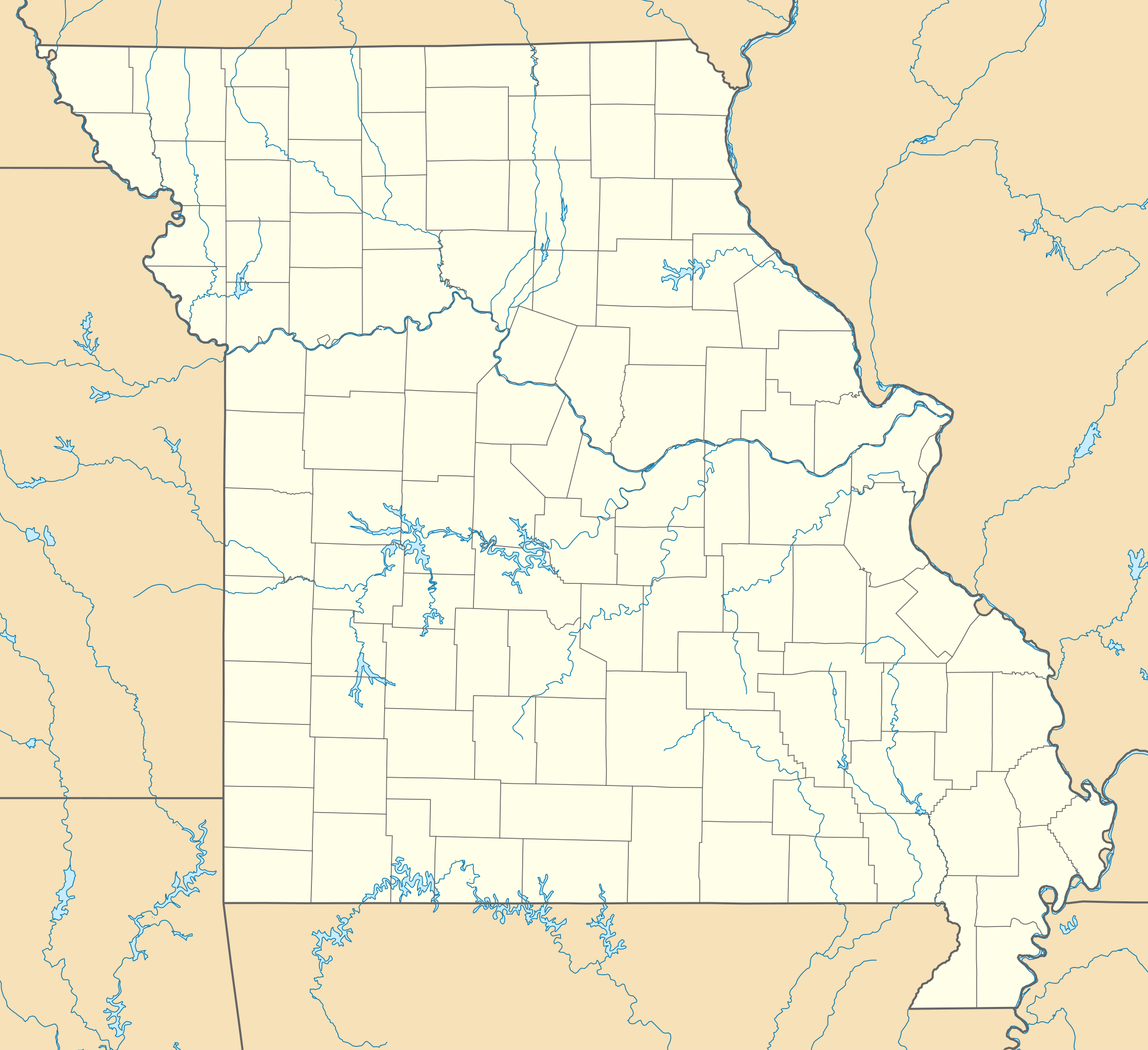
Quadratische Plattkarte, N-S-Streckung 130.0 %. Geographische Begrenzung der Karte:
Equirectangular projection, N/S stretching 130.0 %. Geographic limits of the map:
|
| दिनांक | |
| स्रोत | स्वतःचे काम |
| लेखक | Alexrk2 |
| इतर आवृत्तींस |
Derivative works of this file: BMO Harris Bank 2012-06.png Derivative works of this file: |

|
This map has been made or improved in the German Kartenwerkstatt (Map Lab). You can propose maps to improve as well.
|
परवाना:
मी, या कामाचा/कामाची परवानाधारक, खालील परवान्यांअंतर्गत हे काम येथे प्रकाशित करत आहे :

|
फ्री सॉफ्टवेअर फाऊंडेशन द्वारे प्रकाशित जीएनयू मुक्त दस्ताऐवजीकरण परवाना, आवृत्ती १.२ किंवा त्यानंतरची,या अंतर्गत; या दस्तावेजास, नकलविण्याची, वितरणाची व/किंवा फेरबदलाची परवानगी दिल्या जाते या अटींसह कि त्यात कोणतेही निश्चलित(Invariant) विभाग नकोत,पृष्टपान मजकूर नको व मलपान मजकूर नको. GNU Free Documentation License हा मथळा असलेल्या विभागात,या परवान्याची प्रत अंतर्भूत केलेली आहे. |
ही संचिका खालील परवान्याअंतर्गत आहे - क्रीएटिव्ह कॉमन्स Attribution 3.0 Unported.
- तुम्ही मुक्त आहात.
- सामायिक करा – नक्कल, वितरण आणि पारेषित करण्यास
- पुर्नमिश्रीत करण्यास – काम गरजेनुसार अनुकुलीत करण्यास
- खालील अटींच्या अधिन राहून:
- रोपण – आपण योग्य क्रेडिट देणे आवश्यक आहे, परवान्यास दुवा प्रदान करणे आवश्यक आहे, आणि बदल केले गेले आहेत हे दर्शविणे आवश्यक आहे. आपण हे कोणत्याही वाजवी मार्गाने करू शकता, परंतु परवानाधारक आपल्यास किंवा आपल्या वापरास मान्यता देतो अशा कोणत्याही मार्गाने नाही.
तुमच्या पसंतीचा परवाना तुम्ही निवडू शकता.
संचिकेचा इतिहास
संचिकेची त्यावेळची आवृत्ती बघण्यासाठी त्या दिनांक/वेळेवर टिचकी द्या.
| दिनांक/वेळ | छोटे चित्र | आकार | सदस्य | प्रतिक्रीया | |
|---|---|---|---|---|---|
| सद्य | १७:४७, ३ ऑक्टोबर २००९ | | १,४०१ × १,२८२ (८५३ कि.बा.) | Alexrk2 | minor fixes |
| १७:३३, ३ ऑक्टोबर २००९ |  | १,४०१ × १,२८२ (७४८ कि.बा.) | Alexrk2 | == Beschreibung == {{Information |Description= {{de|Positionskarte von Missouri, USA}} Quadratische Plattkarte, N-S-Streckung 130.0 %. Geographische Begrenzung der Karte: * N: 40.8° N * S: 35.8° N * W: 96.0° W * O: 88.9° W |
दुवे
खालील पाने या संचिकेला जोडली आहेत:
जागतिक संचिका उपयोग
संचिकाचे इतर विकिपीडियावरील वापरः
- an.wikipedia.org वरील उपयोग
- ar.wikipedia.org वरील उपयोग
- arz.wikipedia.org वरील उपयोग
- azb.wikipedia.org वरील उपयोग
- جفرسونسیتی
- سینت کلیر، میزوری
- پومونا، میزوری
- اکسلو، میزوری
- گونئی فورک ، میزوری
- ایروین، میزوری
- استور، میزوری
- ترسیتا، میزوری
- جین، میزوری
- ایکیرز، میزوری
- الی اسپرینق، میزوری
- واپاپلو، میزوری
- کول کمپ جانکشن، میزوری
- کولدواتر، میزوری
- کسکید، میزوری
- پترسون، میزوری
- لوندس، میزوری
- سیلوا، میزوری
- هیرام، میزوری
- بیکسبی، میزوری
- شوک، میزوری
- ادواردز، میزوری
- تیپتان فورد، میزوری
- هارویل، میزوری
- دیفاینس، میزوری
- کانسپشن، میزوری
- چروکی پس، میزوری
- ساکسس، میزوری
- کالفیلد، میزوری
- اینک، میزوری
- لانق لین، میزوری
- بلومینقتن، میزوری
- سینت کلمنت، میزوری
- بلویو، میزوری
- یوکاتان، میزوری
- ارث سیتی، میزوری
- سلت، میزوری
- باس، میزوری
- الک کریک، میزوری
- برونر، میزوری
- فاقاس، میزوری
- داقنزویل، میزوری
- نورثویو
- اولدفیلد، میزوری
या संचिकेचे अधिक वैश्विक उपयोग पहा