
चित्र:Saint-Denis map.svg

Size of this PNG preview of this SVG file: ५८७ × ६०० पिक्सेल. इतर resolutions: २३५ × २४० पिक्सेल | ४७० × ४८० पिक्सेल | ७५२ × ७६८ पिक्सेल | १,००२ × १,०२४ पिक्सेल | २,००४ × २,०४८ पिक्सेल | १,५५२ × १,५८६ पिक्सेल.
मूळ संचिका (SVG संचिका, साधारणपणे १,५५२ × १,५८६ pixels, संचिकेचा आकार: ५४० कि.बा.)
सारांश
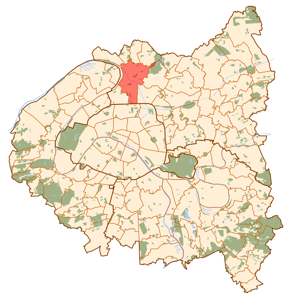
| वर्णन | Map of Paris and its inner ring départements, localization of Saint-Denis (Author: Metropolitan). |
| दिनांक | ऑक्टोबर १०, इ.स. २००६ (original upload date) |
| स्रोत | No machine-readable source provided. Own work assumed (based on copyright claims). |
| लेखक | No machine-readable author provided. Metropolitan~commonswiki assumed (based on copyright claims). |
परवाना:
| I, the copyright holder of this work, release this work into the public domain. This applies worldwide. असे करणे काही देशांमधे कायद्यानुसार शक्य नसू शकते. असे असल्यास : मी कोणालाही कोणत्याही कारणासाठी हे काम वापरण्याचे अधिकार कोणत्याही बंधनाशिवाय जर अशी बंधने कायद्याने बंधनकारक नसतीलतर देत आहोत. |
संचिकेचा इतिहास
संचिकेची त्यावेळची आवृत्ती बघण्यासाठी त्या दिनांक/वेळेवर टिचकी द्या.
| दिनांक/वेळ | छोटे चित्र | आकार | सदस्य | प्रतिक्रीया | |
|---|---|---|---|---|---|
| सद्य | १७:१०, १० ऑक्टोबर २००६ | | १,५५२ × १,५८६ (५४० कि.बा.) | Metropolitan~commonswiki | Map of Paris and its inner ring départements, localization of Saint-Denis (Author: Metropolitan). Category:Locator maps for municipalities of Seine-Saint-Denis |
दुवे
खालील पाने या संचिकेला जोडली आहेत:
जागतिक संचिका उपयोग
संचिकाचे इतर विकिपीडियावरील वापरः
- ar.wikipedia.org वरील उपयोग
- arz.wikipedia.org वरील उपयोग
- ast.wikipedia.org वरील उपयोग
- ca.wikipedia.org वरील उपयोग
- cs.wikipedia.org वरील उपयोग
- da.wikipedia.org वरील उपयोग
- de.wikipedia.org वरील उपयोग
- diq.wikipedia.org वरील उपयोग
- en.wikipedia.org वरील उपयोग
- eo.wikipedia.org वरील उपयोग
- es.wikipedia.org वरील उपयोग
- eu.wikipedia.org वरील उपयोग
- fa.wikipedia.org वरील उपयोग
- fi.wikipedia.org वरील उपयोग
- fr.wikipedia.org वरील उपयोग
- fr.wikinews.org वरील उपयोग
- ga.wikipedia.org वरील उपयोग
- gl.wikipedia.org वरील उपयोग
- id.wikipedia.org वरील उपयोग
- jv.wikipedia.org वरील उपयोग
- la.wikipedia.org वरील उपयोग
- lld.wikipedia.org वरील उपयोग
- lv.wikipedia.org वरील उपयोग
- no.wikipedia.org वरील उपयोग
- pl.wikipedia.org वरील उपयोग
- pl.wikivoyage.org वरील उपयोग
- pnb.wikipedia.org वरील उपयोग
- pt.wikipedia.org वरील उपयोग
- ro.wikipedia.org वरील उपयोग
- sco.wikipedia.org वरील उपयोग
- th.wikipedia.org वरील उपयोग
- tt.wikipedia.org वरील उपयोग
- ur.wikipedia.org वरील उपयोग
- vi.wikipedia.org वरील उपयोग
- www.wikidata.org वरील उपयोग