
चित्र:OrissaAngul.png

या झलकेचा आकार: ६६८ × ५९९ पिक्सेल पिक्सेल. इतर resolutions: २६८ × २४० पिक्सेल | ५३५ × ४८० पिक्सेल | ८५६ × ७६८ पिक्सेल | १,१४२ × १,०२४ पिक्सेल | १,८२३ × १,६३५ पिक्सेल.
मूळ संचिका (१,८२३ × १,६३५ पिक्सेल, संचिकेचा आकार: ४५० कि.बा., MIME प्रकार: image/png)
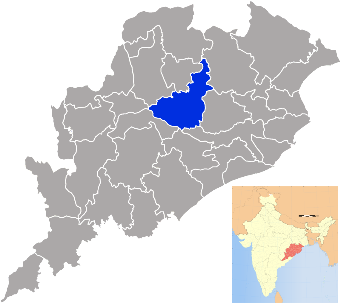
| वर्णन | Angul district in Orissa |
| दिनांक | (UTC) |
| स्रोत | |
| लेखक |
|
| This is a retouched picture, which means that it has been digitally altered from its original version. The original can be viewed here: Orissa locator map.svg:
|
I, the copyright holder of this work, hereby publish it under the following license:
ही संचिका खालील परवान्याअंतर्गत आहे - क्रीएटिव्ह कॉमन्स Attribution-Share Alike 3.0 Unported.
- तुम्ही मुक्त आहात.
- सामायिक करा – नक्कल, वितरण आणि पारेषित करण्यास
- पुर्नमिश्रीत करण्यास – काम गरजेनुसार अनुकुलीत करण्यास
- खालील अटींच्या अधिन राहून:
- रोपण – आपण योग्य क्रेडिट देणे आवश्यक आहे, परवान्यास दुवा प्रदान करणे आवश्यक आहे, आणि बदल केले गेले आहेत हे दर्शविणे आवश्यक आहे. आपण हे कोणत्याही वाजवी मार्गाने करू शकता, परंतु परवानाधारक आपल्यास किंवा आपल्या वापरास मान्यता देतो अशा कोणत्याही मार्गाने नाही.
- जसेहोते-वाटातसेच (शेअर अलाईक) – जर तुम्ही या कामात काही बदल केलात, काटछाट केलीत, किंवा भर घातली, तर असे करून बनलेले नवीन काम तुम्ही केवळ या किंवा यासारख्याच परवान्याअंतर्गत प्रसारित करू शकतात.
चढवल्याचे मुळ विवरण
This image is a derivative work of the following images:
- File:Orissa_locator_map.svg licensed with Cc-by-sa-3.0
- 2008-09-06T17:28:24Z PlaneMad 2269x2241 (216154 Bytes)
- 2008-02-21T13:28:20Z Mkeranat 647x564 (134867 Bytes) {{Information |Description=Locator map for the state of [w:Orissa] updated to show white borders for districts |Source=self-made, based on India locator map by [w:User:Planemad] |Date=Feb 2008 |Author= Mkeranat |Permission= |
- 2008-02-14T21:32:38Z Mkeranat 647x564 (133465 Bytes) {{Information |Description=Locator map for the state of [w:Orissa] |Source=self-made, based on India locator map by [w:User:Planemad] |Date=Feb 2008 |Author= [[w:User:Mkeranat|Mkeranat]] |Permission= |other_versions= }}
Uploaded with derivativeFX
संचिकेचा इतिहास
संचिकेची त्यावेळची आवृत्ती बघण्यासाठी त्या दिनांक/वेळेवर टिचकी द्या.
| दिनांक/वेळ | छोटे चित्र | आकार | सदस्य | प्रतिक्रीया | |
|---|---|---|---|---|---|
| सद्य | ०२:४६, २५ सप्टेंबर २००९ | | १,८२३ × १,६३५ (४५० कि.बा.) | Abhijitsathe | {{Information |Description=Angul district in Orissa |Source=*File:Orissa_locator_map.svg |Date=2009-09-24 21:15 (UTC) |Author=*File:Orissa_locator_map.svg: '''PlaneMad''' *derivative work: ~~~ |Permission=see below |other_ver |
दुवे
या चित्राशी जोडलेली पृष्ठे नाहीत.