
चित्र:Map of Great Barrier Reef Demis.png
या झलकेचा आकार: ५३५ × ५९९ पिक्सेल पिक्सेल. इतर resolutions: २१४ × २४० पिक्सेल | ४२९ × ४८० पिक्सेल | ९४५ × १,०५८ पिक्सेल.
मूळ संचिका (९४५ × १,०५८ पिक्सेल, संचिकेचा आकार: २०० कि.बा., MIME प्रकार: image/png)
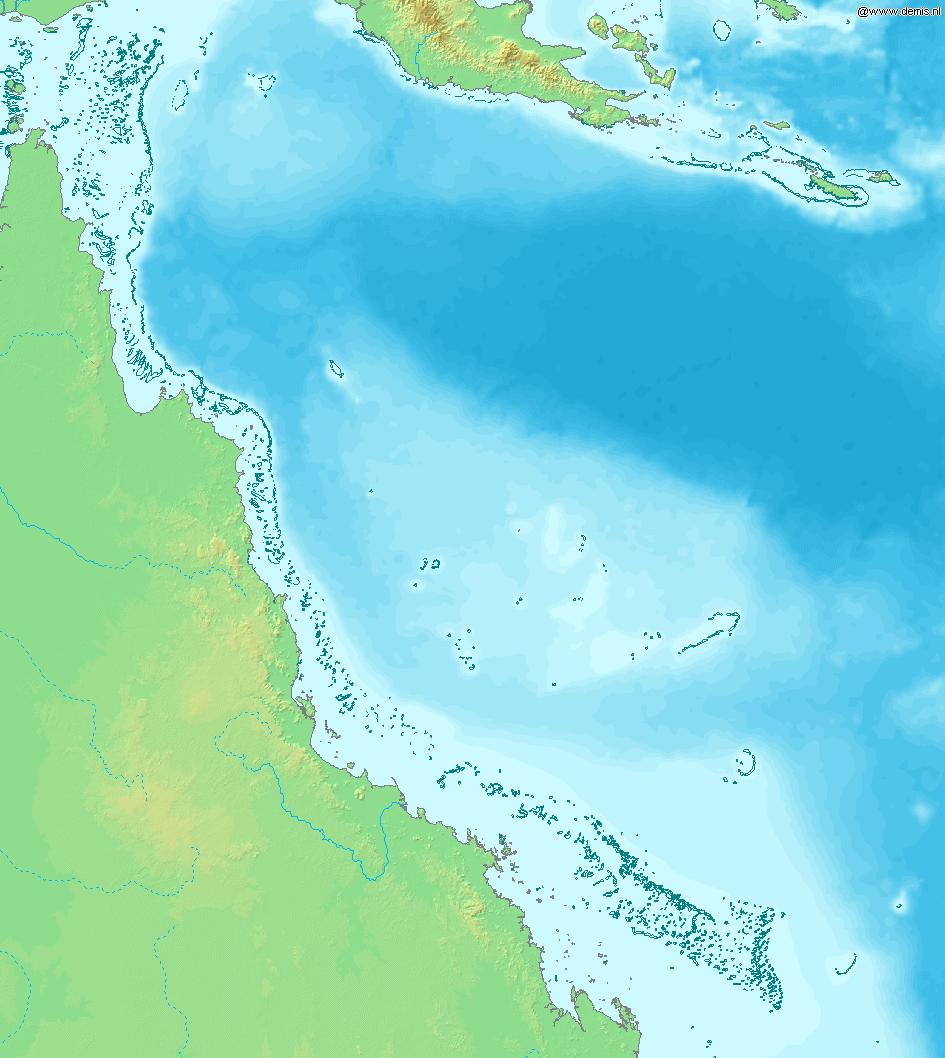
Map of Great Barrier Reef.
Bounding box West 142°, South -23°, East 155°, North -9°. Center at 16°00′00″S 148°30′00″E / 16.00000°S 148.50000°E.
This image is in the public domain because it came from the site https://www.demis.nl/products/web-map-server/examples/ and was released by the copyright holder. Permission is granted to copy, distribute and/or modify this map since it is based on free of copyright images from: www.demis.nl. See also approval email on de.wp and its clarification.
|
| This work has been released into the public domain by its copyright holder, www.demis.nl. This applies worldwide. असे करणे काही देशांमधे कायद्यानुसार शक्य नसू शकते. असे असल्यास : www.demis.nl grants anyone the right to use this work for any purpose, without any conditions, unless such conditions are required by law.
|
संचिकेचा इतिहास
संचिकेची त्यावेळची आवृत्ती बघण्यासाठी त्या दिनांक/वेळेवर टिचकी द्या.
| दिनांक/वेळ | छोटे चित्र | आकार | सदस्य | प्रतिक्रीया | |
|---|---|---|---|---|---|
| सद्य | २१:४१, २० डिसेंबर २००६ | | ९४५ × १,०५८ (२०० कि.बा.) | Mats Halldin~commonswiki | Map of Great Barrier Reef. Bounding box West 142°, South -23°, East 155°, North -9°. Center at {{coor d|16.00000|S|148.50000|E|scale:8400000}}. {{demis-pd}} Category:Maps of Australia |
दुवे
खालील पाने या संचिकेला जोडली आहेत:
जागतिक संचिका उपयोग
संचिकाचे इतर विकिपीडियावरील वापरः
- af.wikipedia.org वरील उपयोग
- am.wikipedia.org वरील उपयोग
- ar.wikipedia.org वरील उपयोग
- as.wikipedia.org वरील उपयोग
- bn.wikipedia.org वरील उपयोग
- br.wikipedia.org वरील उपयोग
- bs.wikipedia.org वरील उपयोग
- ckb.wikipedia.org वरील उपयोग
- en.wikipedia.org वरील उपयोग
- es.wikipedia.org वरील उपयोग
- fiu-vro.wikipedia.org वरील उपयोग
- fo.wikipedia.org वरील उपयोग
- fr.wikipedia.org वरील उपयोग
- gan.wikipedia.org वरील उपयोग
- he.wikipedia.org वरील उपयोग
- id.wikipedia.org वरील उपयोग
- ja.wikipedia.org वरील उपयोग
- jv.wikipedia.org वरील उपयोग
- ka.wikipedia.org वरील उपयोग
- kn.wikipedia.org वरील उपयोग
- la.wikipedia.org वरील उपयोग
- mai.wikipedia.org वरील उपयोग
- mk.wikipedia.org वरील उपयोग
- ml.wikipedia.org वरील उपयोग
- ms.wikipedia.org वरील उपयोग
- ne.wikipedia.org वरील उपयोग
- new.wikipedia.org वरील उपयोग
- oc.wikipedia.org वरील उपयोग
- pnb.wikipedia.org वरील उपयोग
- sah.wikipedia.org वरील उपयोग
- sh.wikipedia.org वरील उपयोग
- sk.wikipedia.org वरील उपयोग
- ta.wikipedia.org वरील उपयोग
- th.wikipedia.org वरील उपयोग
- ur.wikipedia.org वरील उपयोग
- vep.wikipedia.org वरील उपयोग
- xmf.wikipedia.org वरील उपयोग
- yi.wikipedia.org वरील उपयोग