
चित्र:Arunachal Pradesh locator map.svg

मूळ संचिका (SVG संचिका, साधारणपणे २,३९३ × १,९५६ pixels, संचिकेचा आकार: २६३ कि.बा.)
| शीर्षक |
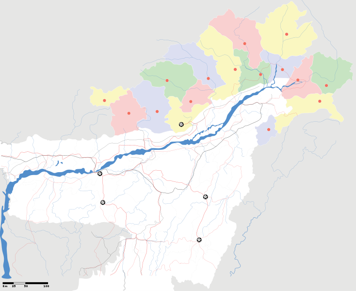
Arunachal Pradesh locator Map. Coordinates: top=29.49, bottom=23.74, left=89.61, right=97.52. |
||
| वर्णन |
Map of w:Arunachal Pradesh with road and rail lines |
||
| दिनांक | |||
| स्रोत |
स्वतःचे काम |
||
| रचनाकार |
|
||
| परवानगी (या संचिकेचा पुनर्वापर करीत आहे) |
I, the copyright holder of this work, hereby publish it under the following license: ही संचिका खालील परवान्याअंतर्गत आहे - क्रीएटिव्ह कॉमन्स Attribution-Share Alike 3.0 Unported.
|
||
| Geotemporal data | |||
| Date depicted | second half of 20 century आणि 21 century | ||
| Georeferencing | If inappropriate please set warp_status = skip to hide. | ||
| Archival data | |||
| नोंदी | Part of WikiProject India Maps | ||
derivative works
Derivative works of this file: India Arunachal Pradesh location map.svg
संचिकेचा इतिहास
संचिकेची त्यावेळची आवृत्ती बघण्यासाठी त्या दिनांक/वेळेवर टिचकी द्या.
| दिनांक/वेळ | छोटे चित्र | आकार | सदस्य | प्रतिक्रीया | |
|---|---|---|---|---|---|
| सद्य | ००:३४, १७ एप्रिल २००७ | | २,३९३ × १,९५६ (२६३ कि.बा.) | Planemad | {{WikiProject_India_Maps |Title=Arunachal Pradesh locator Map |Description=Map of w:Arunachal Pradesh with road and rail lines |Source= [http://www.iitg.ernet.in/rcilts/assam_political.jpg IIT Guwahati - Assam Political map], [http://arunachalgovernor |
दुवे
या चित्राशी जोडलेली पृष्ठे नाहीत.
जागतिक संचिका उपयोग
संचिकाचे इतर विकिपीडियावरील वापरः
- ast.wikipedia.org वरील उपयोग
- as.wikipedia.org वरील उपयोग
- awa.wikipedia.org वरील उपयोग
- ba.wikipedia.org वरील उपयोग
- ca.wikipedia.org वरील उपयोग
- ceb.wikipedia.org वरील उपयोग
- de.wikipedia.org वरील उपयोग
- dty.wikipedia.org वरील उपयोग
- dv.wikipedia.org वरील उपयोग
- en.wikipedia.org वरील उपयोग
- es.wikipedia.org वरील उपयोग
- fa.wikipedia.org वरील उपयोग
- fr.wikipedia.org वरील उपयोग
- hif.wikipedia.org वरील उपयोग
- hi.wikipedia.org वरील उपयोग
- hr.wikipedia.org वरील उपयोग
- id.wikipedia.org वरील उपयोग
- incubator.wikimedia.org वरील उपयोग
- ja.wikipedia.org वरील उपयोग
- ka.wikipedia.org वरील उपयोग
- kbd.wikipedia.org वरील उपयोग
- mai.wikipedia.org वरील उपयोग
- ml.wikipedia.org वरील उपयोग
- ms.wikipedia.org वरील उपयोग
- new.wikipedia.org वरील उपयोग
- nl.wikipedia.org वरील उपयोग
या संचिकेचे अधिक वैश्विक उपयोग पहा