
चित्र:Andhra Pradesh locator map (1956-2014).svg

मूळ संचिका (SVG संचिका, साधारणपणे २,७१६ × २,५३१ pixels, संचिकेचा आकार: ३७२ कि.बा.)
.svg)
| शीर्षक |
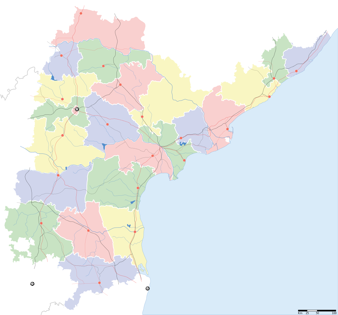
Andhra Pradesh locator Map. Coordinates: top=19.957, bottom=12.522, left=76.593, right=84.935. |
||
| वर्णन |
Map of w:Andhra Pradesh with road and rail lines |
||
| दिनांक | |||
| स्रोत |
स्वतःचे काम |
||
| रचनाकार |
|
||
| परवानगी (या संचिकेचा पुनर्वापर करीत आहे) |
I, the copyright holder of this work, hereby publish it under the following license: ही संचिका खालील परवान्याअंतर्गत आहे - क्रीएटिव्ह कॉमन्स Attribution-Share Alike 3.0 Unported.
|
||
| Geotemporal data | |||
| Date depicted | second half of 20 century आणि 21 century | ||
| Georeferencing | If inappropriate please set warp_status = skip to hide. | ||
| Archival data | |||
| नोंदी | Part of WikiProject India Maps | ||
derivative works
Derivative works of this file: India Andhra Pradesh location map.svg
संचिकेचा इतिहास
संचिकेची त्यावेळची आवृत्ती बघण्यासाठी त्या दिनांक/वेळेवर टिचकी द्या.
| दिनांक/वेळ | छोटे चित्र | आकार | सदस्य | प्रतिक्रीया | |
|---|---|---|---|---|---|
| सद्य | १६:१३, ५ मे २००७ | | २,७१६ × २,५३१ (३७२ कि.बा.) | Planemad | oops, wrong crop |
| १६:१०, ५ मे २००७ |  | २,७१६ × २,५३१ (३७२ कि.बा.) | Planemad | {{WikiProject_India_Maps |Title=Andhra Pradesh locator Map |Description=Map of w:Andhra Pradesh with road and rail lines |Source= [http://www.etctours.net/gifs/apmap.jpg ETC Tours - Andhra map], [http://www.indianrailways.gov.in/maps/st-cent-rly.htm S |
दुवे
या चित्राशी जोडलेली पृष्ठे नाहीत.
जागतिक संचिका उपयोग
संचिकाचे इतर विकिपीडियावरील वापरः
- de.wikipedia.org वरील उपयोग
- en.wikipedia.org वरील उपयोग
- en.wiktionary.org वरील उपयोग
- fa.wikipedia.org वरील उपयोग
- hif.wikipedia.org वरील उपयोग
- hi.wikipedia.org वरील उपयोग
- hr.wikipedia.org वरील उपयोग
- ml.wikipedia.org वरील उपयोग
- new.wikipedia.org वरील उपयोग
- सीतारांपुरमु मण्डल, नेल्लोर जिल्ला
- वरिकुंटपाडु मण्डल, नेल्लोर जिल्ला
- गूडूरु मण्डल, नेल्लोर जिल्ला
- जलदंकि मण्डल, नेल्लोर जिल्ला
- कावलि मण्डल, नेल्लोर जिल्ला
- बोगोलु मण्डल, नेल्लोर जिल्ला
- कलिगिरि मण्डल, नेल्लोर जिल्ला
- विंजमूरु मण्डल, नेल्लोर जिल्ला
- दुत्तलूरु मण्डल, नेल्लोर जिल्ला
- उदयगिरि मण्डल, नेल्लोर जिल्ला
- मर्रिपाडु मण्डल, नेल्लोर जिल्ला
- अनुमसमुद्रंपेट मण्डल, नेल्लोर जिल्ला
- दगदर्ति मण्डल, नेल्लोर जिल्ला
- विडवलूरु मण्डल, नेल्लोर जिल्ला
- कोडवलूरु मण्डल, नेल्लोर जिल्ला
- बुच्चिरेड्डिपालेमु मण्डल, नेल्लोर जिल्ला
- संगं मण्डल, नेल्लोर जिल्ला
- चेजॆर्ल मण्डल, नेल्लोर जिल्ला
- अनंतसागरं मण्डल, नेल्लोर जिल्ला
- कलुवोय मण्डल, नेल्लोर जिल्ला
- रापूरु मण्डल, नेल्लोर जिल्ला
- पॊदलकूरु मण्डल, नेल्लोर जिल्ला
- नेल्लोर मण्डल, नेल्लोर जिल्ला
- कोवूरु मण्डल, नेल्लोर जिल्ला
- इंदुकूरुपेट मण्डल, नेल्लोर जिल्ला
- तोटपल्लिगूडूरु मण्डल, नेल्लोर जिल्ला
- मुत्तुकूरु मण्डल, नेल्लोर जिल्ला
- वेंकटाचलमु मण्डल, नेल्लोर जिल्ला
- मनुबोलु मण्डल, नेल्लोर जिल्ला
- सैदापुरमु मण्डल, नेल्लोर जिल्ला
- डक्किलि मण्डल, नेल्लोर जिल्ला
- वेंकटगिरि मण्डल, नेल्लोर जिल्ला
- बालायपल्ले मण्डल, नेल्लोर जिल्ला
- आल्लूरु मण्डल, नेल्लोर जिल्ला
- ओजिलि मण्डल, नेल्लोर जिल्ला
या संचिकेचे अधिक वैश्विक उपयोग पहा
.svg)
.svg)