
चित्र:Jammu and Kashmir locator map.svg

Size of this PNG preview of this SVG file: ७६४ × ६०० पिक्सेल. इतर resolutions: ३०६ × २४० पिक्सेल | ६११ × ४८० पिक्सेल | ९७८ × ७६८ पिक्सेल | १,२८० × १,००५ पिक्सेल | २,५६० × २,०१० पिक्सेल | २,१६० × १,६९६ पिक्सेल.
मूळ संचिका (SVG संचिका, साधारणपणे २,१६० × १,६९६ pixels, संचिकेचा आकार: ६७९ कि.बा.)
| शीर्षक |
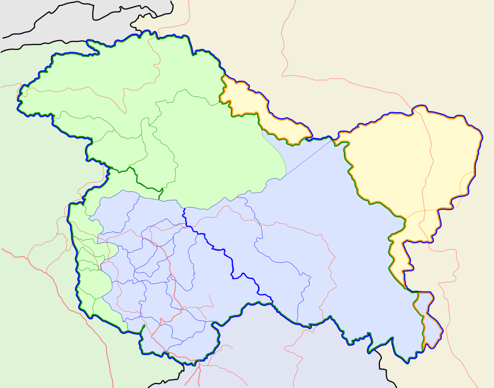
Jammu and Kashmir locator map |
||
| वर्णन |
Locator map for the state of w:Jammu and Kashmir |
||
| दिनांक | |||
| स्रोत |
स्वतःचे काम |
||
| रचनाकार |
|
||
| परवानगी (या संचिकेचा पुनर्वापर करीत आहे) |
I, the copyright holder of this work, hereby publish it under the following license: ही संचिका खालील परवान्याअंतर्गत आहे - क्रीएटिव्ह कॉमन्स Attribution-Share Alike 3.0 Unported.
|
||
| Geotemporal data | |||
| Date depicted | second half of 20 century आणि 21 century | ||
| Georeferencing | If inappropriate please set warp_status = skip to hide. | ||
| Archival data | |||
| नोंदी | Part of WikiProject India Maps | ||
संचिकेचा इतिहास
संचिकेची त्यावेळची आवृत्ती बघण्यासाठी त्या दिनांक/वेळेवर टिचकी द्या.
| दिनांक/वेळ | छोटे चित्र | आकार | सदस्य | प्रतिक्रीया | |
|---|---|---|---|---|---|
| सद्य | १६:०१, ६ ऑक्टोबर २०२० | | २,१६० × १,६९६ (६७९ कि.बा.) | Hindian1947 | Fixed colour |
| १५:५६, ६ ऑक्टोबर २०२० |  | २,७०० × २,१२० (१५३ कि.बा.) | Hindian1947 | Ladakh, Gilgit Baltistan borders fixed | |
| २३:३०, ९ एप्रिल २००७ |  | २,१६० × १,६९६ (२११ कि.बा.) | Planemad | {{WikiProject_India_Maps |Title=Jammu and Kashmir locator map |Description=Locator map for the state of [w:Jammu and Kashmir]] |Source= [http://www.koausa.org/Nature/maps.html Map of Kashmir], |Date=April 2007 |Author=w:user:Planemad }} [[Category:W |
दुवे
खालील पाने या संचिकेला जोडली आहेत:
जागतिक संचिका उपयोग
संचिकाचे इतर विकिपीडियावरील वापरः
- ar.wikipedia.org वरील उपयोग
- bn.wikipedia.org वरील उपयोग
- bpy.wikipedia.org वरील उपयोग
- ceb.wikipedia.org वरील उपयोग
- de.wikipedia.org वरील उपयोग
- en.wiktionary.org वरील उपयोग
- fa.wikipedia.org वरील उपयोग
- gu.wikipedia.org वरील उपयोग
- hi.wikipedia.org वरील उपयोग
- साँचा:ज्ञानसन्दूक भारत के क्षेत्र
- साँचा:ज्ञानसन्दूक भारत के क्षेत्र/doc
- अनंतनाग लोक सभा निर्वाचन क्षेत्र
- बारामूला लोक सभा निर्वाचन क्षेत्र
- जम्मू लोक सभा निर्वाचन क्षेत्र
- लद्दाख लोक सभा निर्वाचन क्षेत्र
- श्रीनगर लोक सभा निर्वाचन क्षेत्र
- उधमपुर लोक सभा निर्वाचन क्षेत्र
- शारदापीठ
- रिमो मुज़ताग़
- Module:Location map/data/Kashmir
- Module:Location map/data/Kashmir/doc
- हाजी पीर की लड़ाई
- शाह मीर राजवंश
- id.wikipedia.org वरील उपयोग
- it.wikipedia.org वरील उपयोग
- ja.wikipedia.org वरील उपयोग
- ks.wikipedia.org वरील उपयोग
- mai.wikipedia.org वरील उपयोग
- ml.wikipedia.org वरील उपयोग
या संचिकेचे अधिक वैश्विक उपयोग पहा