
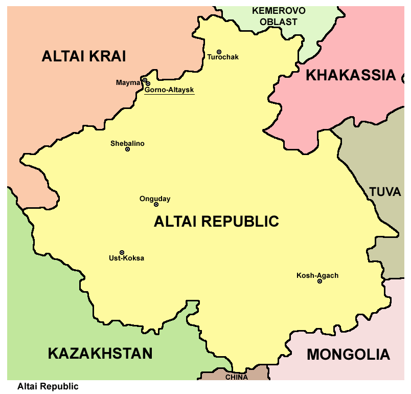
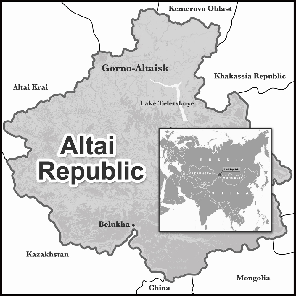
चित्र:Altai republic map.png
या झलकेचा आकार: ६२६ × ६०० पिक्सेल पिक्सेल. इतर resolutions: २५१ × २४० पिक्सेल | ५०१ × ४८० पिक्सेल | ८०४ × ७७० पिक्सेल.
मूळ संचिका (८०४ × ७७० पिक्सेल, संचिकेचा आकार: ४६ कि.बा., MIME प्रकार: image/png)
सारांश
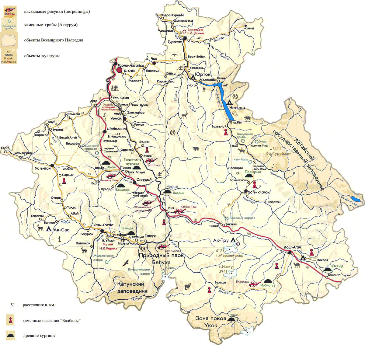
| वर्णन | Map of Altai Republic, Russia. |
| दिनांक | |
| स्रोत | स्वतःचे काम |
| लेखक | PANONIAN |
परवाना:
I, the copyright holder of this work, hereby publish it under the following license:
| This file is made available under the Creative Commons CC0 1.0 Universal Public Domain Dedication. | |
| The person who associated a work with this deed has dedicated the work to the public domain by waiving all of their rights to the work worldwide under copyright law, including all related and neighboring rights, to the extent allowed by law. You can copy, modify, distribute and perform the work, even for commercial purposes, all without asking permission.
|
References
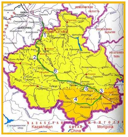
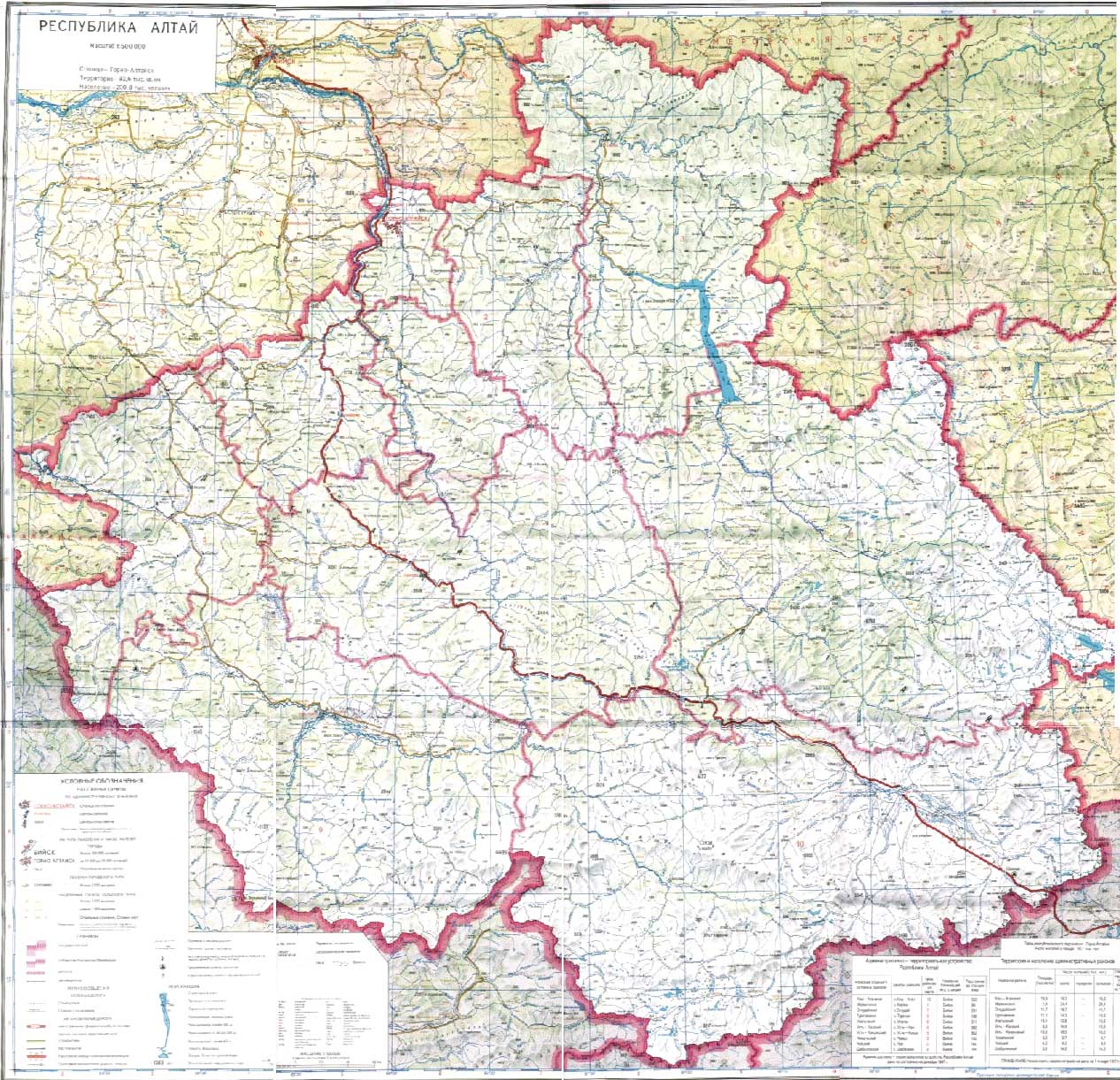
Maps from external links:
- http://www.altay-magazin.ru/images/altai_map9.jpg
- http://www.regions.newsall.ru/altai-rep/altai-rep.htm.gif
- https://www.usrbc.org/pics/Image/Russian%20Regions/Altai%20Republic/map_altay.gif
- http://www.stopwatchhut.com/places/330.jpg
- http://snowleopardblog.com/wp-content/uploads/2010/05/altai-republic-closeup-map.jpg
- http://altaifellowship.files.wordpress.com/2011/02/altai-districts-map4.jpg
- http://www.rusadv.com/Pictures/Russia/Regions/G_Altay.gif[dead link]
- http://www.altaiproject.org/wp-content/uploads/2011/07/AltaiMap.jpg
- http://www.rusnet.nl/i/encyclo/a/altay_rep_map.gif
- http://alt-kedr.ru/images/map_altay.jpg[dead link]
- http://www.vgorah.narod.ru/Pics/altay/mapraj.gif[dead link]
- http://loi.sscc.ru/bdm/nso/attr/sfo/img/altai_r.gif
- http://topmap.narod.ru/04/all/altay-phis-5-s.jpg
- http://mchs.altai-republic.ru/2/kartab.jpg[dead link]
- http://sibturizm.ru/info/kartirespaltai/Dosrespaltay.gif
- http://www.karta-russia.ru/maps/map-altay-karta.jpg
- http://loi.sscc.ru/bdm/nso/attr/zapsib/zapsib10.files/6-10a.gif archive copy at the Wayback Machine
- http://altay-valley.ru/s2/images/ra.jpg
- http://trasa.ru/img/regions/altay.gif
- http://sibturizm.ru/info/guide/altayrepublic.jpg
- http://syuv.ru/img/maps/regions/dorogi/big/karta-dorog-respublika_altay.png[dead link]
- http://www.newtek.pro/upload/images/Горноалтайск.gif archive copy at the Wayback Machine
- http://the-day-x.ru/wp-content/uploads/2012/02/b9db09bf2ace169d09207fa35e.jpg archive copy at the Wayback Machine
- http://molodost.ru/upload/image/22_03_10/450.jpg
- http://touringaltai.com/D://2011/03/altai_republic_map_large.jpg[dead link]
- http://www.htls.ru/peoples/russia/respublika_altay/map_bg.jpg
- http://www.hamulet.ru/wp-content/uploads/2010/10/Altay.jpg archive copy at the Wayback Machine
Largest cities and towns in Altai Republic:
- http://world-gazetteer.com/wg.php?x=&men=gcis&lng=en&des=wg&geo=-183&srt=npan&col=abcdefghinoq&msz=1500&geo=-3106[dead link]
संचिकेचा इतिहास
संचिकेची त्यावेळची आवृत्ती बघण्यासाठी त्या दिनांक/वेळेवर टिचकी द्या.
| दिनांक/वेळ | छोटे चित्र | आकार | सदस्य | प्रतिक्रीया | |
|---|---|---|---|---|---|
| सद्य | १९:२९, २० जुलै २०१२ | | ८०४ × ७७० (४६ कि.बा.) | PANONIAN | {{Information |Description=Map of Altai Republic, Russia. |Source={{own}} |Date=2012 |Author= PANONIAN |Permission= |other_versions= }} |
दुवे
खालील पाने या संचिकेला जोडली आहेत:
जागतिक संचिका उपयोग
संचिकाचे इतर विकिपीडियावरील वापरः
- ace.wikipedia.org वरील उपयोग
- alt.wikipedia.org वरील उपयोग
- be-tarask.wikipedia.org वरील उपयोग
- bn.wikipedia.org वरील उपयोग
- bs.wikipedia.org वरील उपयोग
- bxr.wikipedia.org वरील उपयोग
- crh.wikipedia.org वरील उपयोग
- da.wikipedia.org वरील उपयोग
- el.wikivoyage.org वरील उपयोग
- eo.wikipedia.org वरील उपयोग
- eu.wikipedia.org वरील उपयोग
- fa.wikipedia.org वरील उपयोग
- fi.wikipedia.org वरील उपयोग
- frr.wikipedia.org वरील उपयोग
- ga.wikipedia.org वरील उपयोग
- gl.wikipedia.org वरील उपयोग
- hi.wikipedia.org वरील उपयोग
- hr.wikipedia.org वरील उपयोग
- id.wikipedia.org वरील उपयोग
- incubator.wikimedia.org वरील उपयोग
- it.wikipedia.org वरील उपयोग
- ja.wikipedia.org वरील उपयोग
- ka.wikipedia.org वरील उपयोग
- ko.wikipedia.org वरील उपयोग
- kv.wikipedia.org वरील उपयोग
- ky.wikipedia.org वरील उपयोग
- la.wikipedia.org वरील उपयोग
- lt.wikipedia.org वरील उपयोग
- mdf.wikipedia.org वरील उपयोग
- mk.wikipedia.org वरील उपयोग
- ms.wikipedia.org वरील उपयोग
- myv.wikipedia.org वरील उपयोग
- nl.wikipedia.org वरील उपयोग
- nn.wikipedia.org वरील उपयोग
- pam.wikipedia.org वरील उपयोग
- pl.wikipedia.org वरील उपयोग
- pl.wiktionary.org वरील उपयोग
या संचिकेचे अधिक वैश्विक उपयोग पहा